Ohio to Erie Trail
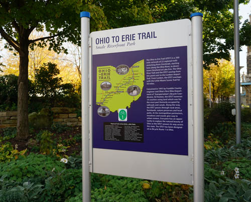
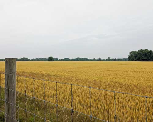
The Ohio to Erie Trail is a 320+ mile system of bike trails, canal paths, and rural roads. Discover the heartland of Ohio as you bike through farmlands, urban centers, and tour the Amish countryside.
OTET 8 Day Tour
A 8-day tour on the the Ohio to Erie Trail that visits the beautiful farmlands, active cities, and natural wonders that make this trail a must-see for bike tourists.
View TripOTET 6 Day Tour
A 6-day tour on the the Ohio to Erie Trail that visits the beautiful farmlands, active cities, and natural wonders that make this trail a must-see for bike tourists.
View TripOTET 5 Day Tour
A 5-day tour on the the Ohio to Erie Trail that visits the beautiful farmlands, active cities, and natural wonders that make this trail a must-see for bike tourists.
View TripOTET 5 Day Tour – North
A 5-day tour on the northern half of the Ohio to Erie Trail that visits the beautiful farmlands, active cities, and natural wonders that make this trail a must-see for bike tourists.
View TripOTET 5 Day Tour – South
A 5-day tour on the southern half of the Ohio to Erie Trail that visits the beautiful farmlands, active cities, and natural wonders that make this trail a must-see for bike tourists.
View TripOTET 4 Day Tour – South
A 4-day tour on the southern half of the Ohio to Erie Trail that visits the beautiful farmlands, active cities, and natural wonders that make this trail a must-see for bike tourists.
View TripAbout the Ohio to Erie Trail
What is the Ohio to Erie Trail?
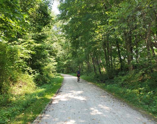
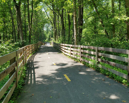
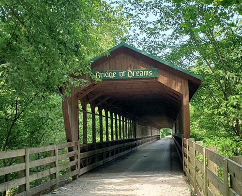
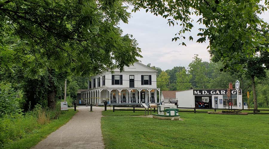
Running from the Ohio River in Cincinnati to the shore of Lake Erie in Cleveland, the Ohio to Erie Trail (OTET) cuts diagonally across the state and through several topographic zones. The trail system is a varied and challenging mix of relaxing bike trail, rolling rural roads, vibrant cities, and green forests.
Riding the OTET
While the OTET is primarily paved and 90% off-road on dedicated trails, there are two on-road segments which require biking with traffic at speed. The trail is best for cyclists comfortable with biking on-road and on mixed surfaces. The OTET is not flat and has several climbs – and descents – as it traverses the state.

Trail Highlights
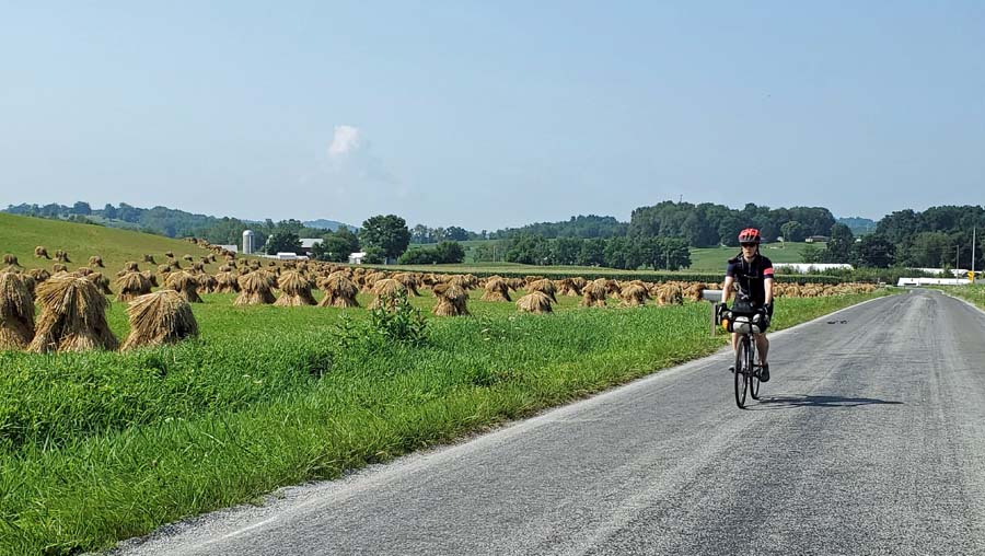
The Ohio to Erie Trail passes through three major cities – Cincinnati, Columbus, and Cleveland – and travels from a major U.S. waterway to one of the Great Lakes. Biking the trail offers a look in at the small town character and Amish heritage of central Ohio. Much of the OTET also forms part of the Underground Railroad Bicycle Route.
A Comfortable Pace
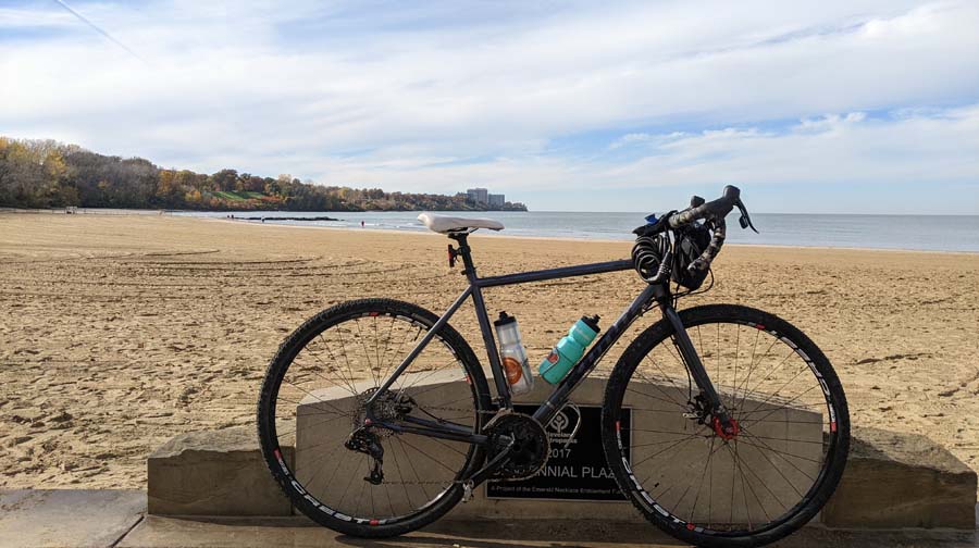
Our Ohio to Erie Trail itineraries are designed to give you the best touring experience along a route with varied terrain and accommodations. Riders can start their trip in Cincinnati or Cleveland and shuttle at the beginning or end of their journey.
Riding the Ohio to Erie Trail
The trail can be ridden between May and October, as dictated by weather and trail conditions.
Spring on the OTET is a wonderful way to restart your cycling season. May can have periods of rain followed by periods of gorgeous spring sunshine. Spring flowers are found all along the trail and add a special color to your trip.
Summer can be a great time to ride for those who do not mind the heat. A good portion of the route is unshaded and the heat can be a factor, so those who prefer cooler riding temps should plan for spring or fall dates.
September and October is peak season on the trail. Fall foliage occurs generally in early to mid-October, although exact dates do vary each year.
Bike rental is not available at this time. (If bringing your own, e-bikes are permitted on the trail.)
The Ohio to Erie Trail can be ridden in either direction and there is no particularly favorable direction. The elevation gains are roughly equal either way; the climbing is more pronounced in the northern half of the route.
Generally the wind direction is from the southwest, so traveling northbound can provide a tailwind in some sections, but this is not a predominate factor along the length of the trail.
We suggest you choose your riding direction based on travel logistics – that is, where you prefer to leave a vehicle and whether you want to start or end at that vehicle. Our trip coordinators are happy to talk through those details with you.
The OTET passes through small towns, large cities, and rural farmlands. Cell phone reception is reasonably strong across the route. The rail-trail segments often have trailheads with water and port-a-johns. Other sections will have convenience stores and gas stations for water and food.
The Ohio to Erie Trail is primarily a paved route with some short sections of crushed gravel; the Ohio Towpath Trail through Cuyahoga Valley National Park is the longest section of crushed gravel.
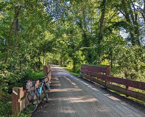
We recommend hybrid/touring/gravel bikes with at least 28 mm-wide tires and minimal tread for a mix of speed and comfort. Experienced riders may prefer narrower tires given that the majority of the route is paved, provided they are confident with their bike handling on gravel and crushed limestone.
Tandems, trikes, recumbents and other non-standard frames are also suitable for the OTET. However, since the route does involve on-road riding with traffic, some riders may feel less comfortable on frames that are low to the ground.
Have a question about this tour?
Our professional team members are happy to answer any questions you may have regarding our tours. Please reach out to them for trail tips and to plan your next adventure.
Featured OTET Trips

Looking for Something Different?
We are proud to offer a wide variety of curated tour itineraries on many of the nation’s best trails.
